Mumbai's 149-km Coastline Faces Fresh BMC Climate Risk Mapping
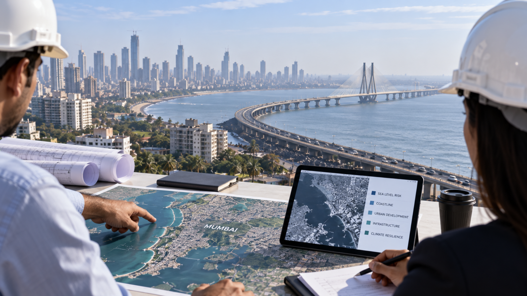
BMC Reassesses Mumbai's Coastal Risk
Mumbai's rapidly changing built environment is prompting a fresh examination of how vulnerable the city is to rising sea levels and coastal flooding.
BMC has commissioned a new climate-risk assessment covering the city's 149-km shoreline, with the study expected to be completed next year.
It will map vulnerable coastal stretches, identify inhabited areas that may face greater exposure and examine how development over the past five years has altered Mumbai's risk profile.
Mumbai's Shoreline Has Changed Significantly
The assessment is particularly relevant to the real-estate and development ecosystem because it will consider changes in land use and coastal development, rather than looking at climate factors in isolation.
One of the biggest transformations has been the Mumbai Coastal Road, which involved reclamation of more than 100 hectares of sea area along the western coastline.
Meanwhile, salt-pan lands on Mumbai's eastern side have been identified for development, adding another major land-use consideration.
Rising Sea Levels Add Pressure
A recent UN assessment reported that global sea levels rose 5.9 mm in 2024, compared with an average annual increase of 4.7 mm between 2014 and 2023.
It projects at least 0.5 metre of sea-level rise by the end of the century even under aggressive emissions reductions.
Mumbai also faces risks from high tides, intense rainfall and the city's extensive built-up environment.
Development and Flood Management Are Connected
Climate scientist Roxy Mathew Koll highlighted another important issue: rapid development and concretisation can reduce floodplains and put additional pressure on natural drainage systems.
Mangroves, wetlands and floodplains consequently have an important role in absorbing water and improving the city's resilience.
For developers and property professionals, the study could provide more detailed insight into which parts of Mumbai face greater long-term coastal exposure.
Its findings may ultimately influence conversations around development planning, infrastructure resilience and the protection of environmentally sensitive land.
Sandeep Sadh’s Take:
Mumbai's next phase of development cannot be planned only around FSI and connectivity. Flood resilience, natural drainage and coastal vulnerability will increasingly matter when assessing the long-term sustainability of a location.