GIS-Linked Sale Deeds Planned Across 10 Maharashtra Districts
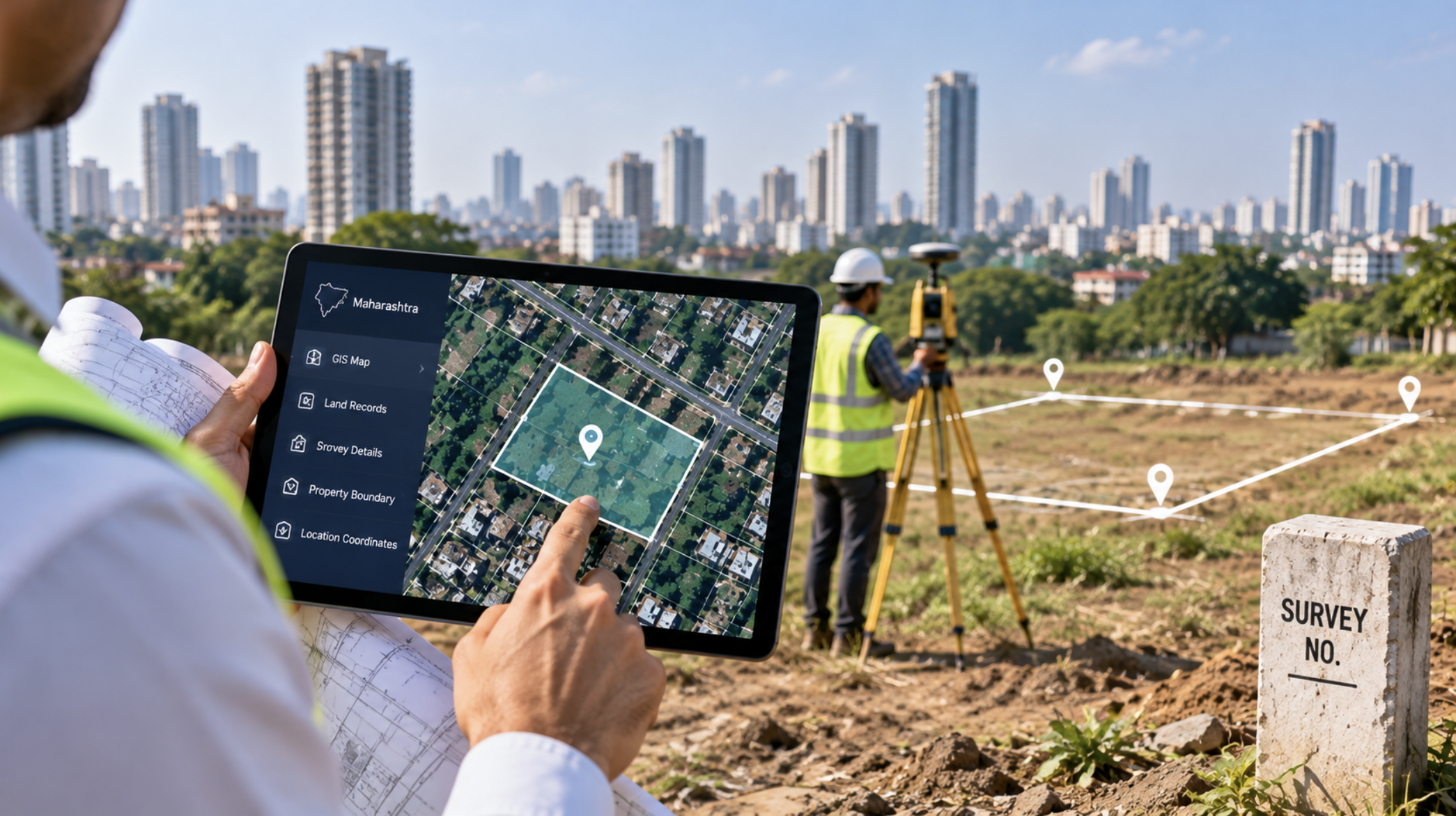
Property Registration Set for Digital Mapping Upgrade
Maharashtra is preparing for another major digitisation of its property-registration ecosystem by linking sale deeds with GIS-based property maps.
The initiative is expected to begin from October in select districts before gradually expanding across the state.
For brokers, developers and transaction professionals, the system could provide a more precise method of verifying exactly which parcel of land is being transferred.
Mojini Proposed Before Registration
The Department of Land Records has proposed introducing land measurement before property registration in 10 districts during the first phase.
Once the state approves the proposal, a standard operating procedure will be developed and K-Prat—the digital land-measurement system—will be integrated with the registration department.
Maharashtra already operates GIS-based e-Mojni 2.0 for land measurement. The system can provide digitally signed measurement maps containing latitude and longitude coordinates.
Why GIS Matters in Property Transactions
Traditional sale deeds commonly identify land using adjoining properties, roads, survey numbers and directional boundaries.
The problem is that these descriptions may become ambiguous, particularly where records are fragmented or multiple claims overlap.
GIS mapping could allow the land described in the document to be digitally located and visually verified.
Ownership and Building Data Could Be Connected
The proposed framework goes beyond simply adding a map to a document.
Authorities plan to integrate ownership records, building footprints and information from different government departments into the GIS environment.
This could help flag overlapping parcels or discrepancies and make property records easier to verify during future transactions.
For Maharashtra's real-estate industry, such digitisation could gradually improve transaction efficiency while strengthening the quality of land-related data available to market participants.
Sandeep Sadh’s Take:
“Digitising the exact location and boundaries of a property can make transaction due diligence far more efficient. For brokers and developers, cleaner land records can mean fewer surprises at later stages of a deal.”